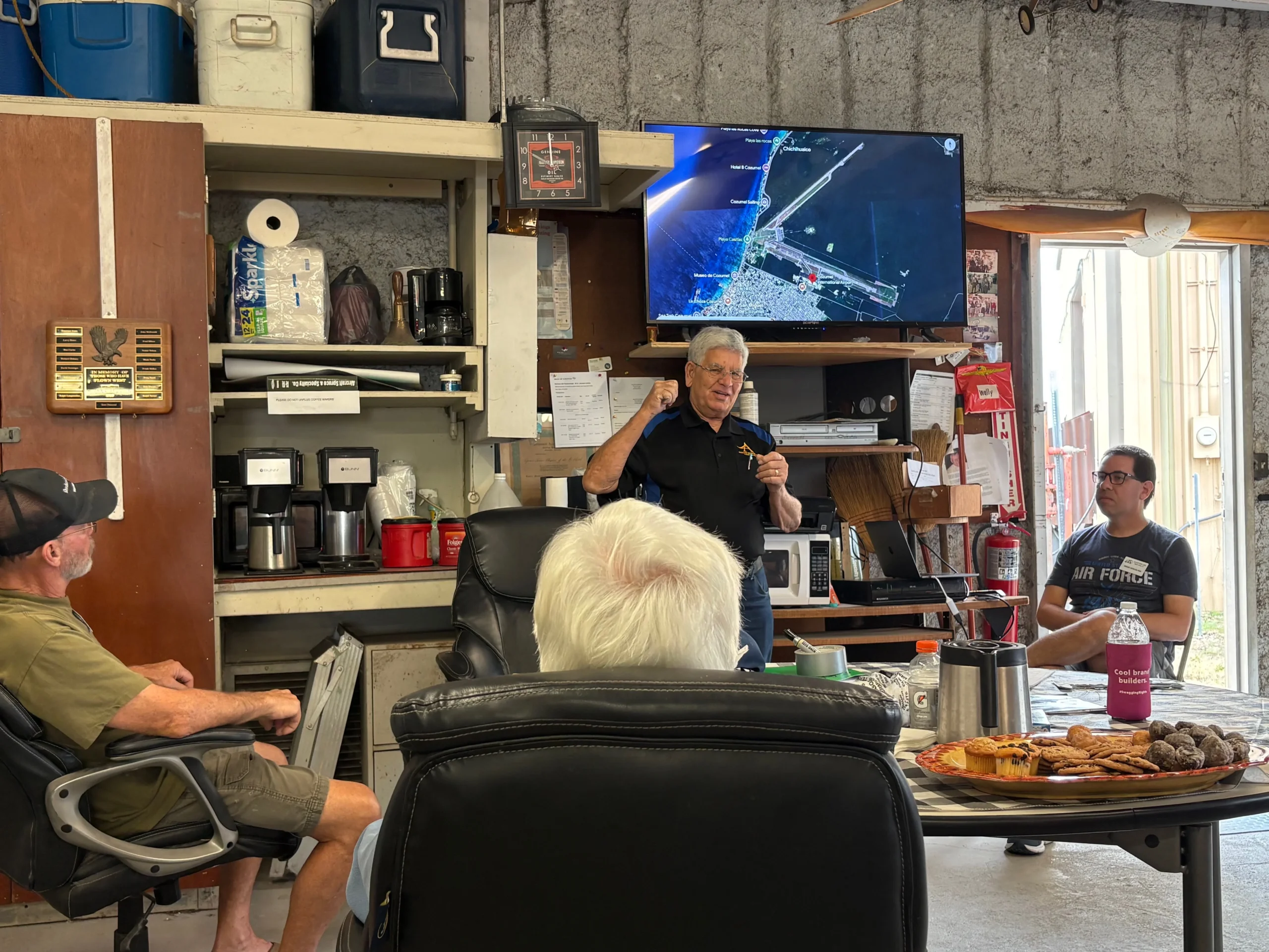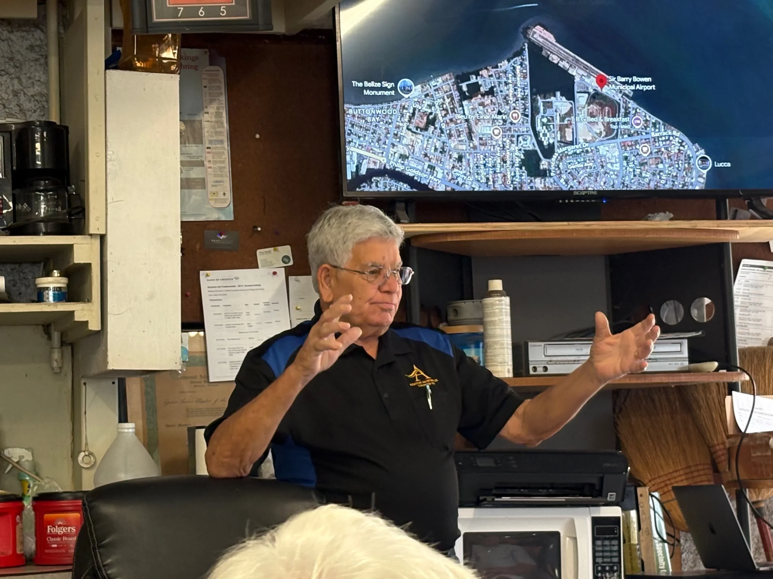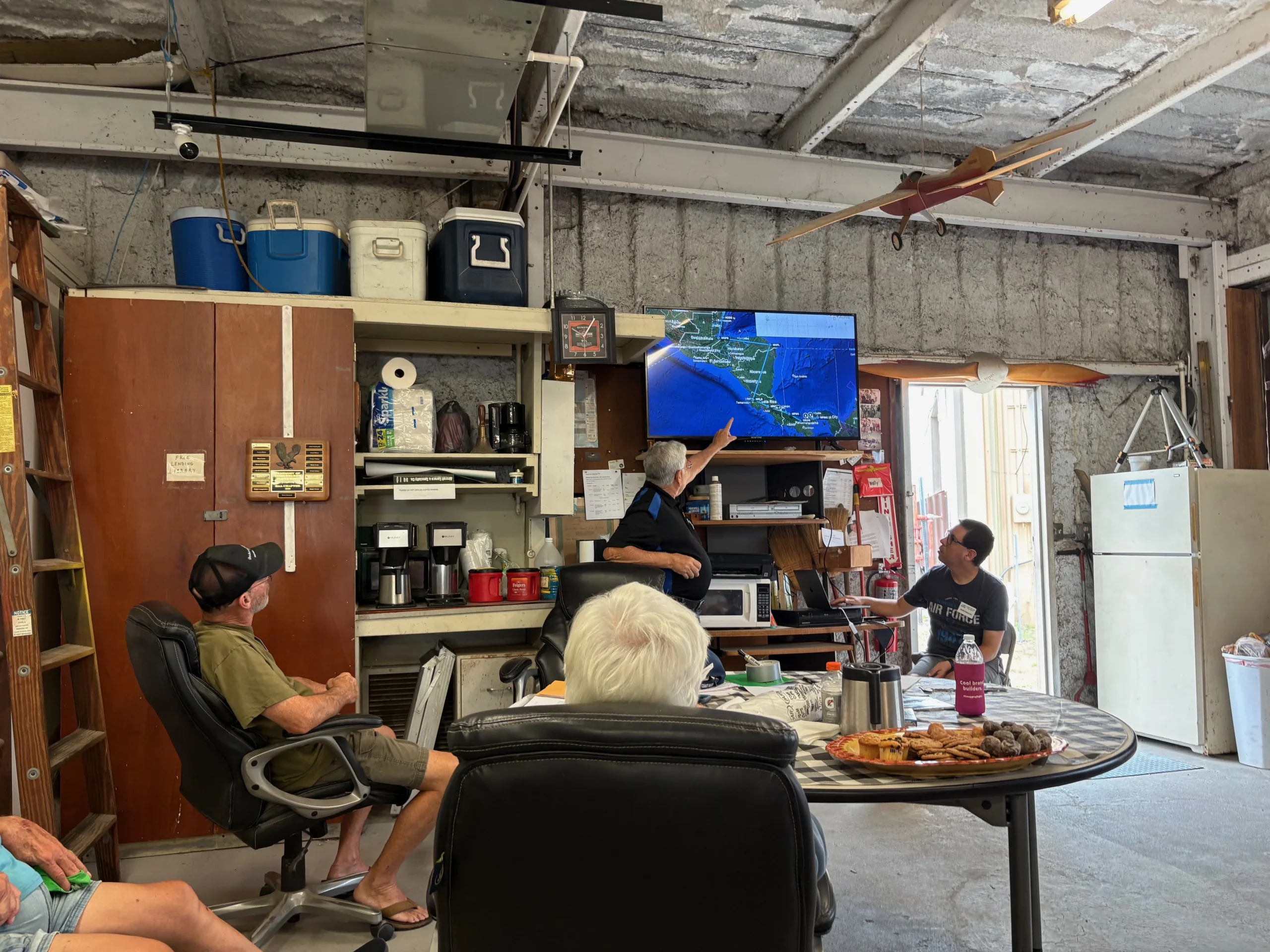
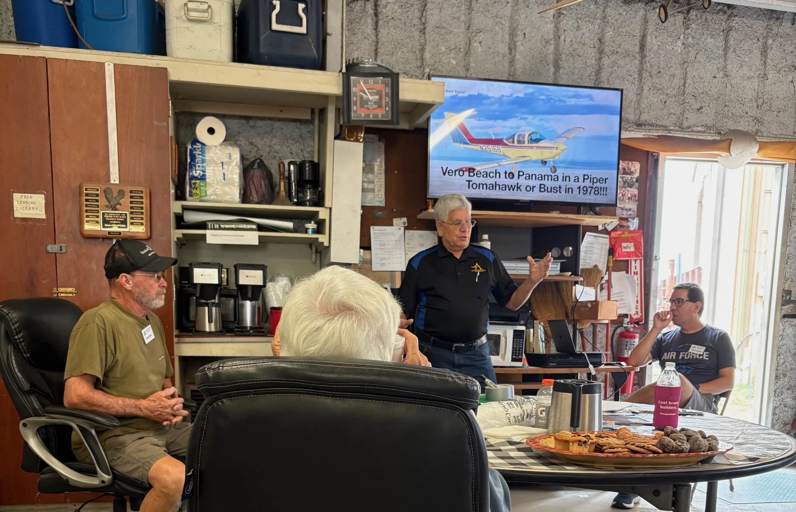
Robert Taylor walked to the front of Hangar 100 at our May meeting and unrolled a chart that covered most of Central America. “I’ll try to keep this short,” he said. He did not keep it short. Nobody asked him to.
What followed was the story of five trips between Florida and Panama in a Piper PA-38 Tomahawk — 108 horsepower, no GPS, no life raft required, and a fuel system that made the math interesting. Robert flew this route beginning in 1978, while working for Continental Airlines, because he wanted to and because it was possible if you were willing to do the arithmetic.
108 Horsepower and a Fuel System That Lied
The airplane was a Piper PA-38 Tomahawk, a two-seat trainer with a Lycoming engine producing 108 horsepower and a cruise speed somewhere between 85 and 90 miles an hour. Robert’s had a factory-installed 10-gallon auxiliary tank in the back, in addition to the standard 30-gallon mains.
There was a catch. The aux tank was plumbed directly into the right main — you couldn’t select it separately. Both tanks drained at the same time. The right fuel gauge read half when you actually had three-quarters remaining. In a nose-low attitude, the aux fed unevenly. “Try to keep track of fuel consumption this way,” Robert told the room, “and it’s a hit-and-miss thing.”
Leaned aggressively at altitude — where the air runs cool and thin — he could bring fuel burn below six gallons an hour. At 90 miles an hour with 40 gallons on board, the legs were doable. Barely. “You can do the math,” he said, “and see that this is getting pretty sketchy.” He did the math. He went anyway.
The Route: Key West to the Panama Canal
Robert would stage out of Vero Beach, work his way down to Key West, and then commit to the longest single over-water leg: roughly 450 miles across open water to Cozumel, Mexico. No GPS. No Loran (a pre-GPS radio navigation system). An ADF — a bearing pointer that can only point toward a ground station directly ahead, not measure how fast you’re moving. He held 2,000 feet and watched the water below.
“About 50 miles out you could see land,” he said. From there, a left turn put him on course for Belize City — still called British Honduras in 1978. Chetumal, in southern Mexico, was always his last fuel stop before crossing the border. The airport there is military. “If you’ve got a problem, the military boys will take care of it,” Robert said. He never needed them. He always stopped there.
The route then followed the Central American coastline south. Honduras presented the biggest challenge: terrain rising to 9,000 feet inland, against an airplane with 108 horsepower already fighting heat, humidity, and density altitude — the performance-robbing effect of hot, moist air on an engine and wing. Robert stayed low, hugging the shore. Through Nicaragua. Into Costa Rica. Fuel at Liberia, then a small strip near San José — the main international airport had no patience for light planes. From there to David, Panama: a dirt strip in western Panama where the local farmer kept 100-octane avgas in 55-gallon drums. “You put it in and filter it through cheesecloth,” Robert said. “That’s the good stuff.” Then a straight shot to Albrook Airport in Panama City, right along the edge of the Panama Canal.
Navigating Without a Net
Wind calls came from watching the ocean surface. Whitecaps visible at 30 miles out meant 20-plus miles per hour of wind — serious trouble for a 90-mph airplane with a tight fuel reserve. Heading corrections for crosswind shorten your effective ground speed: at 90 mph with a 10-degree crab angle into the wind, you’re covering less ground than you think. Robert kept the math running constantly.
Cuba was unavoidable on the Key West–Cozumel routing. Robert flew straight through Cuban airspace at 2,000 feet. “My thought was — they’re not going to shoot down a Tomahawk,” he told the room, to laughter. He had a point.
Weather information came from U.S. Flight Service before departure and from whatever Cozumel tower could offer in English. Farther south, reports got sparse. The Intertropical Convergence Zone — a band of unstable weather near the equator where two trade wind systems collide — could produce a 50-mile-an-hour tailwind one hour and a 20-knot crosswind the next. Some trips took two and a half days. One took a week. Seventy-mile-an-hour headwinds pinned him in Chetumal until the system passed.
Five Trips, One Dream, and a Feet-vs.-Meters Disaster
Robert made the journey five times in total. Eventually he looked at what he’d learned and decided to try setting up a Part 135 operation in Panama — a small commercial air taxi service. The Panamanian aviation authority, their equivalent of the FAA, offered him the use of an airport in the mountains. He drove out to look at it. The specs were accurate. The elevation was not mentioned. It was one of Noriega’s private strips: high in the hills, no radar, no lighting, no instrument approaches. He passed.
He asked about hangar space at Albrook instead. When they asked what size, he said 100 by 100. The official’s eyes went wide. He excused himself to speak with his supervisor. When he came back, the relationship had cooled permanently. Robert had been speaking in feet. They were thinking in meters. A 100-by-100-meter hangar is the size of a football field. “My whole relationship with the CAA went downhill right then and there,” he told us. That, as Robert put it, is why he’s back here.
He does still own 120 acres of Costa Rican hillside — an airstrip he built himself, with electricity he ran in, lots he subdivided, and houses he sold to Continental Airlines captains who wanted a place to land. Annual property taxes: $500. Last visit: fifteen years ago. “I still own it. I still own the corporation. I just don’t go.”
Join Us for the Next Meeting
Robert fielded questions for nearly as long as he talked — Cuba airspace, fuel management, altitude strategy, converging zone winds, the cost of living in Costa Rica in 1978 — and he had an answer for all of it. That’s the kind of meeting that reminds us why we keep gathering on Saturday mornings: because somewhere in the room, someone has already done the thing the rest of us have only traced on a chart.
Our next chapter meeting is Saturday, June 6, 2026, at 9:00 AM in Hangar 100 at KGIF Gilbert Field in Winter Haven. Members, students, and anyone curious about aviation are welcome. Come with questions. You might leave with a sectional of Central America on your shopping list.